April 9th, 2018
County posts “Lidar” maps
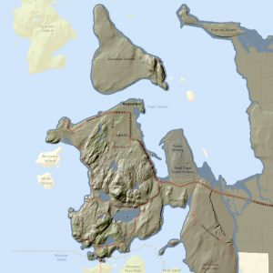
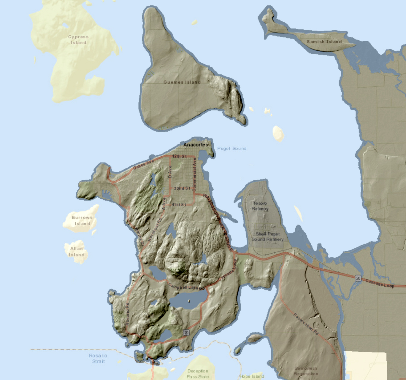
New Lidar maps reveal fascinating details about area geology. With Skagit County’s new Lidar story map and data, you can see all the way to the bare earth – to the complex, sometimes weird, and fascinating geologic features that make up Skagit County.
“The Lidar maps are pretty cool on their own, but we also use the data for a number of different purposes,” said Dr. Josh Greenberg, Skagit County GIS Remote Sensing Analyst. “We can see where rivers have historically changed course, we can determine changes in elevation height – for example, of riverbanks. It’s an incredibly valuable tool for flood modeling, as well as for examining landscape features around the county.”
The Lidar imagery was collected over the course of a year in 2016 and 2017 in partnership with the U.S. Geological Survey (USGS).
Lidar systems are typically installed in airplanes, and emit infrared laser pulses that travel to the earth and back as the plane flies. A computer system calculates the time, location and height where the pulse hits an object or the earth. A secondary step allows the computer to remove trees, houses or other obstructions to show the bare earth. The final Lidar map allows users to see areas of the ground that are usually hidden in aerial images.
Skagit County first began partnering with the USGS in 2005, when Lidar was still in its infancy. Interest in Lidar maps picked up significantly in 2014, following the SR 530 slide in Snohomish County, when the state Legislature directed the Department of Natural Resources to collect improved Lidar data for assessment of potential landslide dangers, among other projects. Dr. Greenberg teamed up with Dr. Jon Riedel of the National Park Service to create the county’s story map.
To view the LIDAR story map, visit www.skagitcounty.net/LidarMap.